Map Product
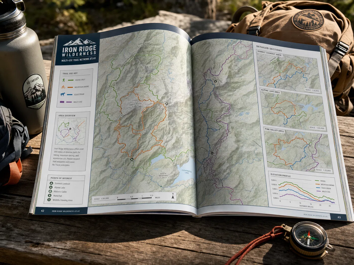
Trail System Overview Map
Starting from$195.00
Comprehensive overview of an entire trail network — routes, difficulty ratings, trailheads, parking, and amenities.
Configure Your Map
Trail System Overview Map
Premium archival paper prints — the most popular choice.
Select Product
Type
Size
Quantity
1
Current Selection
Prints · Photographic · 16" × 20"
$44.00
Available Sizes18×24" or 24×36"
FormatsPrint / Digital PDF / Interactive Web
AvailabilityIn Stock
Free ShippingOrders over $150
Secure PackingDamage-free delivery
Satisfaction30-day guarantee
About This Map
The essential wayfinding product for any trail system. This comprehensive overview map displays the full trail network at a scale that allows users to plan their visit — showing all routes with difficulty ratings, trailheads, parking areas, restrooms, water sources, and key landmarks.