Map Product
Multi-Use Trail Network Atlas
Starting from$275.00
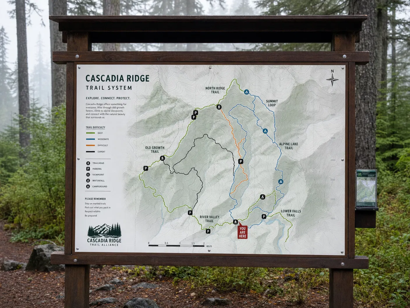
Bound atlas covering an entire trail network at varying scales — designed for complex systems with multiple user groups.
Configure Your Map
Multi-Use Trail Network Atlas
Premium archival paper prints — the most popular choice.
Select Product
Type
Size
Quantity
1
Current Selection
Prints · Photographic · 16" × 20"
$44.00
Available SizesBound Atlas
FormatsBound Atlas / Digital PDF / GIS Data
AvailabilityIn Stock
Free ShippingOrders over $150
Secure PackingDamage-free delivery
Satisfaction30-day guarantee
About This Map
A comprehensive bound atlas for complex trail systems with multiple user groups — hikers, mountain bikers, equestrians, and cross-country skiers. The atlas presents the full network at a system-wide overview scale, then zooms into individual zones and corridors at larger scales.