Map Product
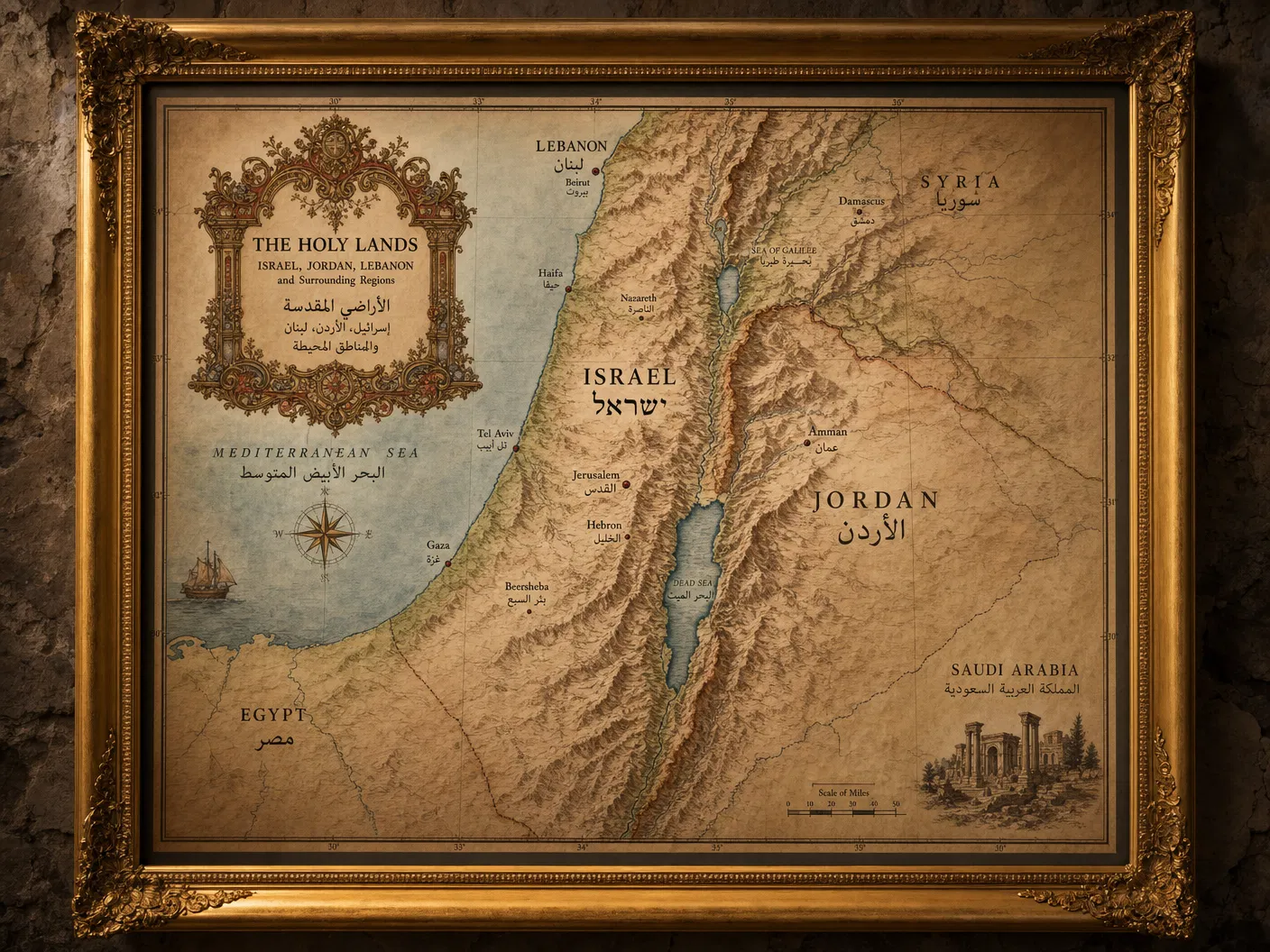
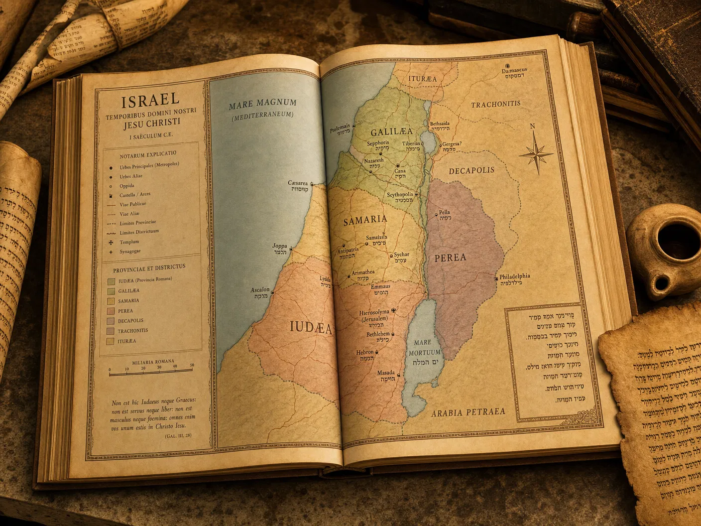
Biblical Israel — First Century
Starting from$165.00
A scholarly reconstruction of the Holy Land as it appeared during the first century CE.
Configure Your Map
Biblical Israel — First Century
Premium archival paper prints — the most popular choice.
Select Product
Type
Size
Quantity
1
Current Selection
Prints · Photographic · 16" × 20"
$44.00
Available Sizes24 × 36 inches
Formats220gsm Archival Matte Paper / Digital PDF
AvailabilityIn Stock
Free ShippingOrders over $150
Secure PackingDamage-free delivery
Satisfaction30-day guarantee
About This Map
A rigorous scholarly reconstruction of the Holy Land as it appeared during the first century of the Common Era. Drawing on archaeological surveys, ancient texts, and modern GIS data, this map depicts the political boundaries, cities, roads, and landscapes of Roman-era Judea, Galilee, Samaria, and the surrounding territories.