Map Product
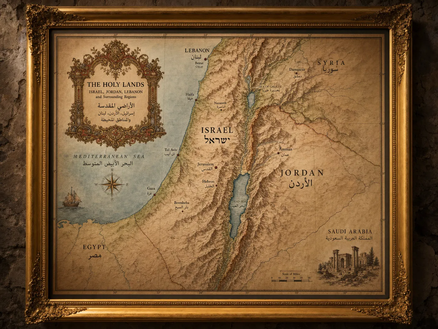
Ancient Near East Historical Atlas
Starting from$245.00
Multi-map atlas tracing the geopolitical evolution of the region from the Bronze Age through the Ottoman period.
Configure Your Map
Ancient Near East Historical Atlas
Premium archival paper prints — the most popular choice.
Select Product
Type
Size
Quantity
1
Current Selection
Prints · Photographic · 16" × 20"
$44.00
Available SizesBound Atlas (12 maps) / Digital PDF
FormatsHardbound Atlas / Digital PDF
AvailabilityIn Stock
Free ShippingOrders over $150
Secure PackingDamage-free delivery
Satisfaction30-day guarantee
About This Map
A landmark publication tracing the geopolitical evolution of the Ancient Near East across four millennia — from the Bronze Age city-states through the Assyrian, Babylonian, Persian, Hellenistic, Roman, Byzantine, Islamic, Crusader, Mamluk, and Ottoman empires. Each of the twelve maps in this bound atlas is accompanied by authoritative historical commentary.