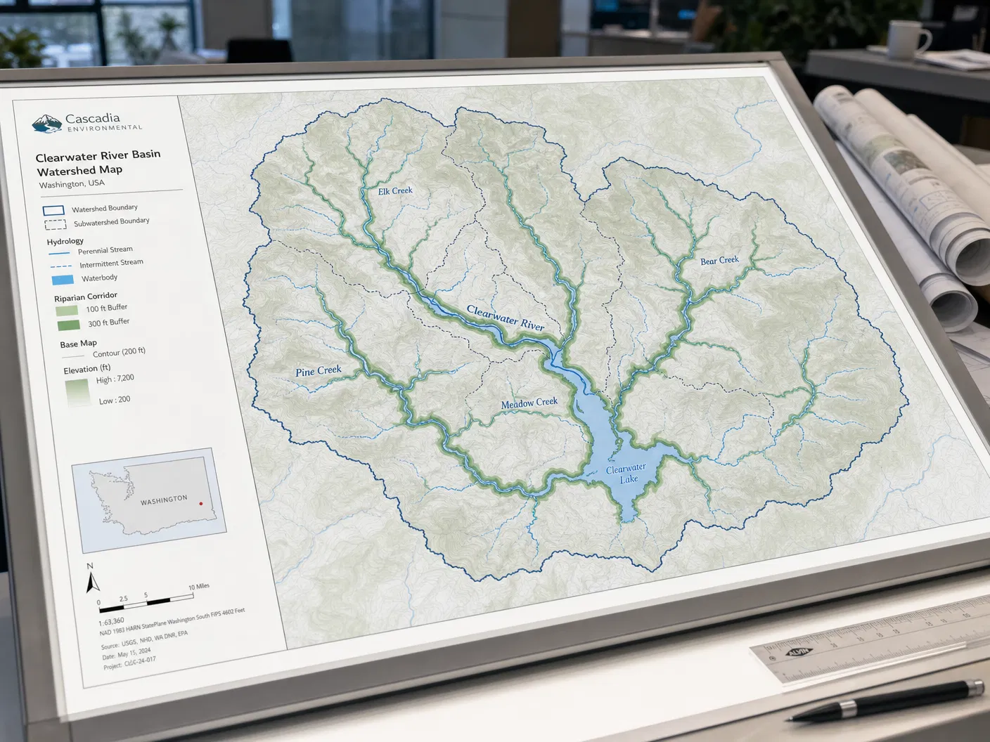
Map Product
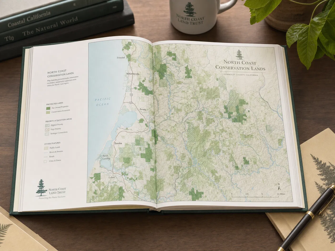
Conservation Land Trust Atlases
Starting from$495.00
Comprehensive mapping of protected lands, easements, and conservation priorities for land trusts.
Configure Your Map
Conservation Land Trust Atlases
Premium archival paper prints — the most popular choice.
Select Product
Type
Size
Quantity
1
Current Selection
Prints · Photographic · 16" × 20"
$44.00
Available SizesBound Atlas / Print / GIS Data
FormatsHardbound Atlas / Archival Print / GIS Data
AvailabilityIn Stock
Free ShippingOrders over $150
Secure PackingDamage-free delivery
Satisfaction30-day guarantee
About This Map
Our most popular environmental product. These comprehensive atlases document a land trust's full portfolio of protected properties, conservation easements, and priority acquisition areas. Each atlas is custom-designed for the organization's specific geography and audience.